Extremely Warm & Bearish US Pattern Most of Next 10-Days, Then Colder Feb 17-20
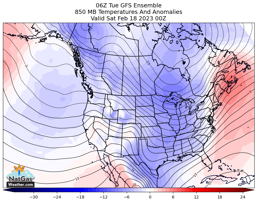
February 7, 2023: Unseasonably strong high pressure will cover most of the southern and eastern halves of the US this week with comfortable highs of 50s to lower 80s for very light national demand. There will be bouts of chilly air into the West and N. Plains as weather systems sweep through, but not cold enough or widespread enough to counter temperatures being 10-30°F warmer than normal most elsewhere. A chilly weather system will track out of the central US and into the East this weekend for a modest bump in national demand, although with warm high pressure favored to spring back immediately over the eastern 2/3 of the US next week for a return to very light national demand. However, much of the overnight data continued to favor colder weather systems spreading across the US Feb 17-20 for strong demand, although teasing warmer temperatures will return over the East Feb 21-22 as cold reloads over western Canada and the Northwest US. Clearly, nat gas bulls are hoping colder pattern arrive soon and last longer than just 4-5-days, as has been the case all winter.
We were interested today to see if yesterday’s rally was the start of something bigger or whether it was a profit taking bounce in an overall bearish market. The overnight weather data was little changed but maintained a colder pattern Feb 17-20, although difficult to know if it’s cold enough to entice shorts to book profits after the biggest 6-week selloff in decades. Bigger picture, this week’s EIA report is expected to print a draw of -185-210 Bcf to decrease surpluses slightly. However, the following two draws are expected to be much lighter than normal to increase surpluses over +250 Bcf. For today’s trade, can bulls make it a rare two day winning streak and close March’23 prices over $2.50?
